DIGITALISATION

3D MAPPING

3D MAPPING AND TAGGING

3D MAPPING AND TAGGING

3D MAPPING AND TAGGING

Replicate your entire farm in digital centimeter-accurate maps with a unique ID for every single crop

Replicate your entire farm in digital centimeter-accurate maps with a unique ID for every single crop

Replicate your entire farm in digital centimeter-accurate maps with a unique ID for every single crop

Replicate your entire farm in digital centimeter-accurate maps with a unique ID for every single crop

Request demo

View API docs

Product features

Product features

HERE'S HOW YOU CAN IMPROVE OPERATIONAL EFFICIENCY AND UNLOCK INCENTIVES

HERE'S HOW YOU CAN IMPROVE OPERATIONAL EFFICIENCY AND UNLOCK INCENTIVES

HERE'S HOW YOU CAN IMPROVE OPERATIONAL EFFICIENCY AND UNLOCK INCENTIVES

Eliminate errors in plot maps and mitigate chances of the wrong crop being worked on

Generate up-to-date maps of your plots, 80x faster than ground surveys. Crops also look the same and different crops behave differently. Remove mistaken identity incidents and reduce the time taken to locate the correct crop out on the field

Get more government incentives by proving compliant logging and
land utility

Get more government incentives by proving compliant logging and
land utility

Get more government incentives by proving compliant logging and
land utility

Get more government incentives by proving compliant logging and
land utility

With increasing government scrutiny, don't lose out on incentive schemes with evidence-less submissions. Increase incentive readiness with immutable time-lapse map data of your farm

Prevent catastrophes and large farm losses

Prevent catastrophes and large farm losses

Prevent catastrophes and large farm losses

Mitigate on-farm disasters that occur due to ground defects, blocked channels and waterlogging by 80% with periodic 3D mapping

Your imaged data is automatically uploaded on our platform once you finish flying. From there, cloud processing and publishing on our platform take place like magic. You can even set your own price targets for transactions

Your imaged data is automatically uploaded on our platform once you finish flying. From there, cloud processing and publishing on our platform take place like magic. You can even set your own price targets for transactions

GENERATE UNDISPUTABLE MAPS OF YOUR FARM PLOTS FOR WORKERS AND STAKEHOLDERS TO RELY ON

GENERATE UNDISPUTABLE MAPS OF YOUR FARM PLOTS FOR WORKERS AND STAKEHOLDERS TO RELY ON

GENERATE UNDISPUTABLE MAPS OF YOUR FARM PLOTS FOR WORKERS AND STAKEHOLDERS TO RELY ON

2D & 3D Digital Elevation Models

2D & 3D Digital Elevation Models

2D & 3D Digital Elevation Models

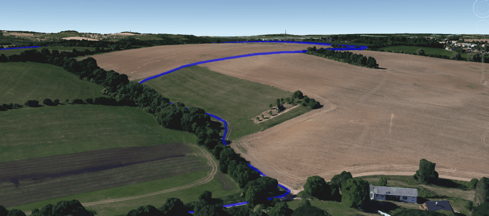
Create DSMs and DTMs of your farm up to 1cm accuracy levels, in mobile friendly formats

Logging and Land Allocation Reports

Logging and Land Allocation Reports

Logging and Land Allocation Reports

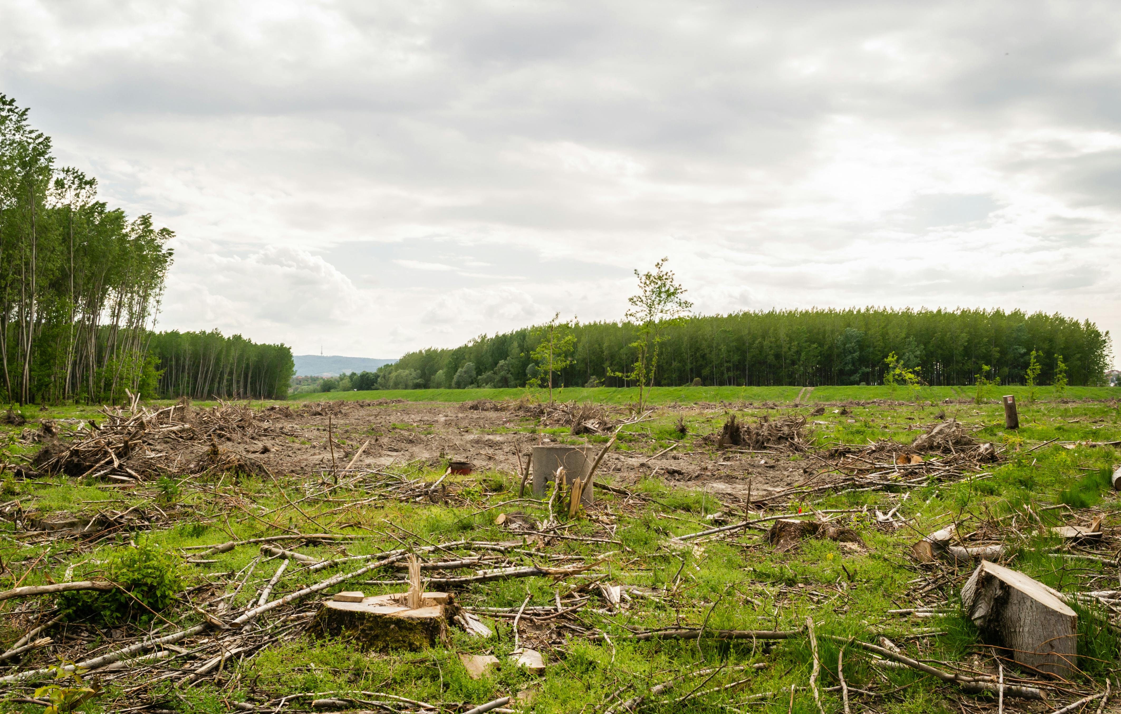
Capture the progress of any logging or reforestation activities and capture the fair usage of allocated land to show regulatory compliance

Unique Crop ID

Unique Crop ID

Unique Crop ID

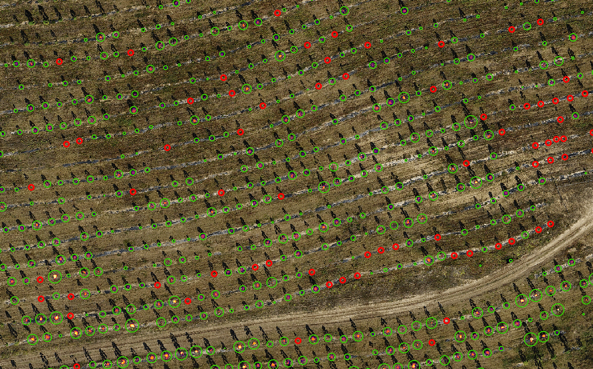
Assign a digital ID to each individual crop based on planting sequence and coordinate systems, allowing easy finding of the crop by workers

Landslide & Flooding Prediction

Landslide & Flooding Prediction

Landslide & Flooding Prediction

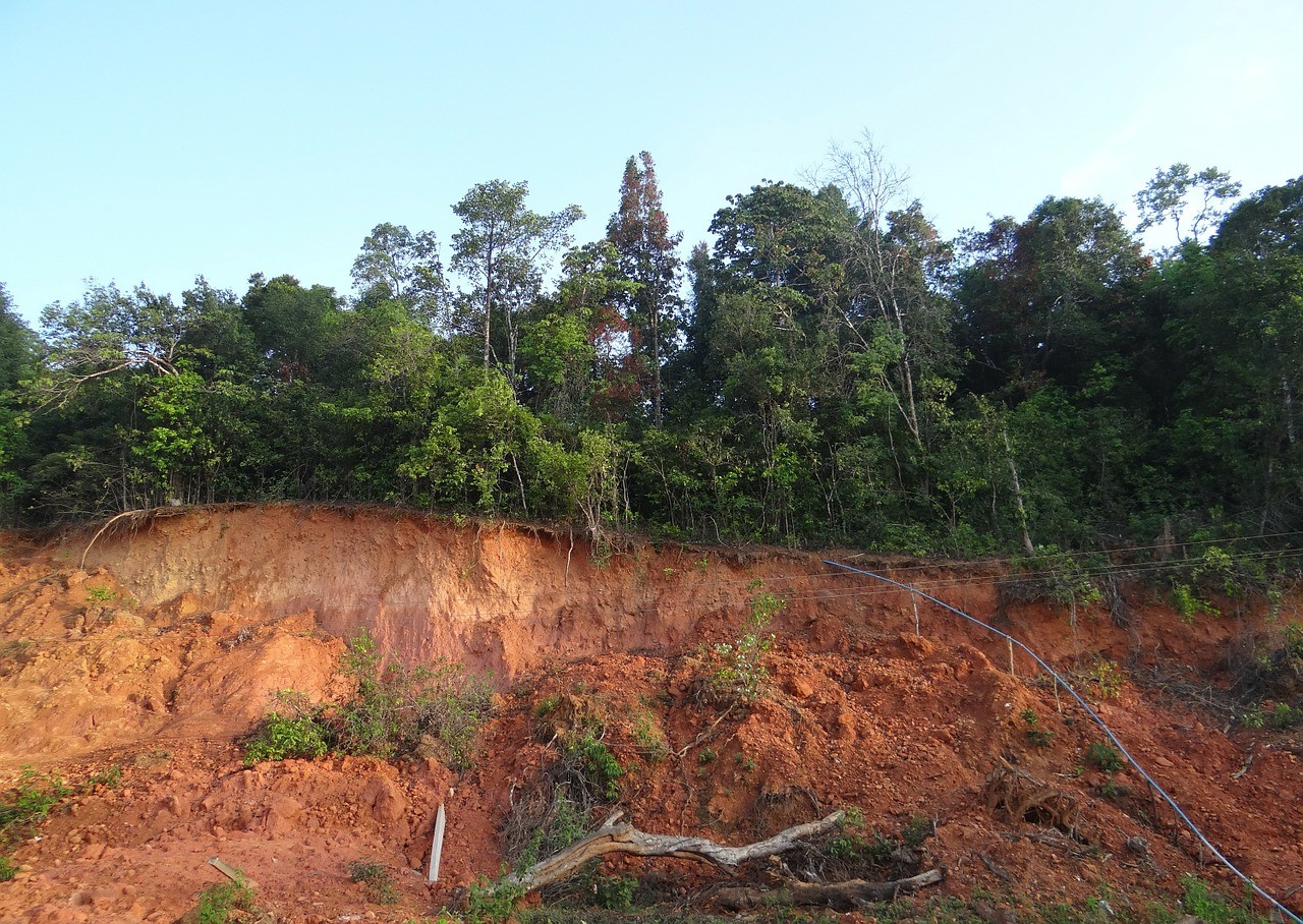
Use 3D map data and other sensor data to identify structurally weak and flood prone ground, preventing large losses to crops or life

Learn how to obtain map data cheaper with on-farm nested drones

How can Plug help my business?

How can Plug help my business?

How can Plug help my business?

Periodic collection of aerial data can just be a button away without all the additional overhead costs!

Periodic collection of aerial data can just be a button away without all the additional overhead costs!

Nested drones

Nested drones

Nested drones

Nested drones