
Agriculture · Plantation operations
See the crop. Treat the target. Learn from every flight.
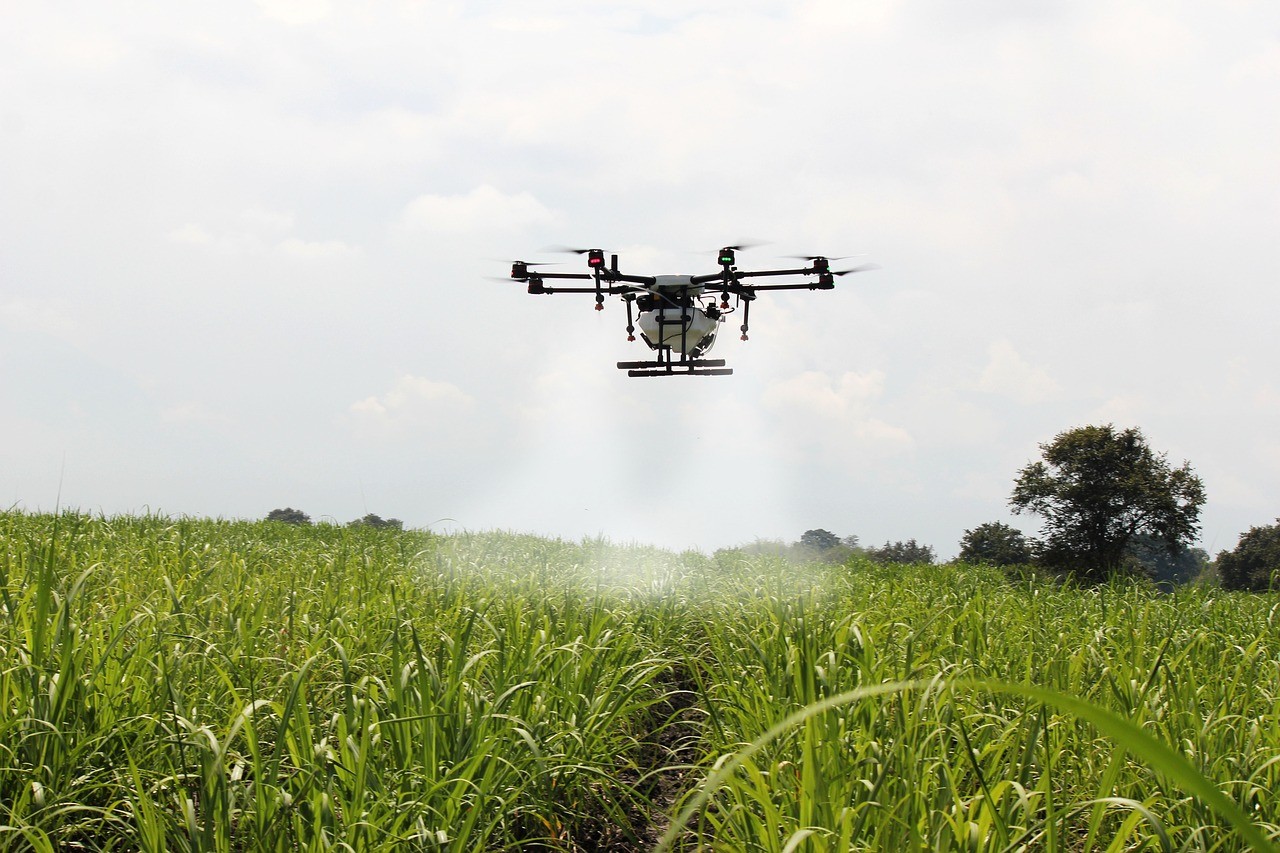
Precision agriculture, built in the field. DroneDash combines plantation spraying operations with no-mapping point-to-point treatment, AI vision and an in-house multispectral camera. Our goal is to make each flight do two jobs: apply treatment where it is needed and build a clearer record of crop condition and response.
Field operations
Built in the field. Designed for precision.
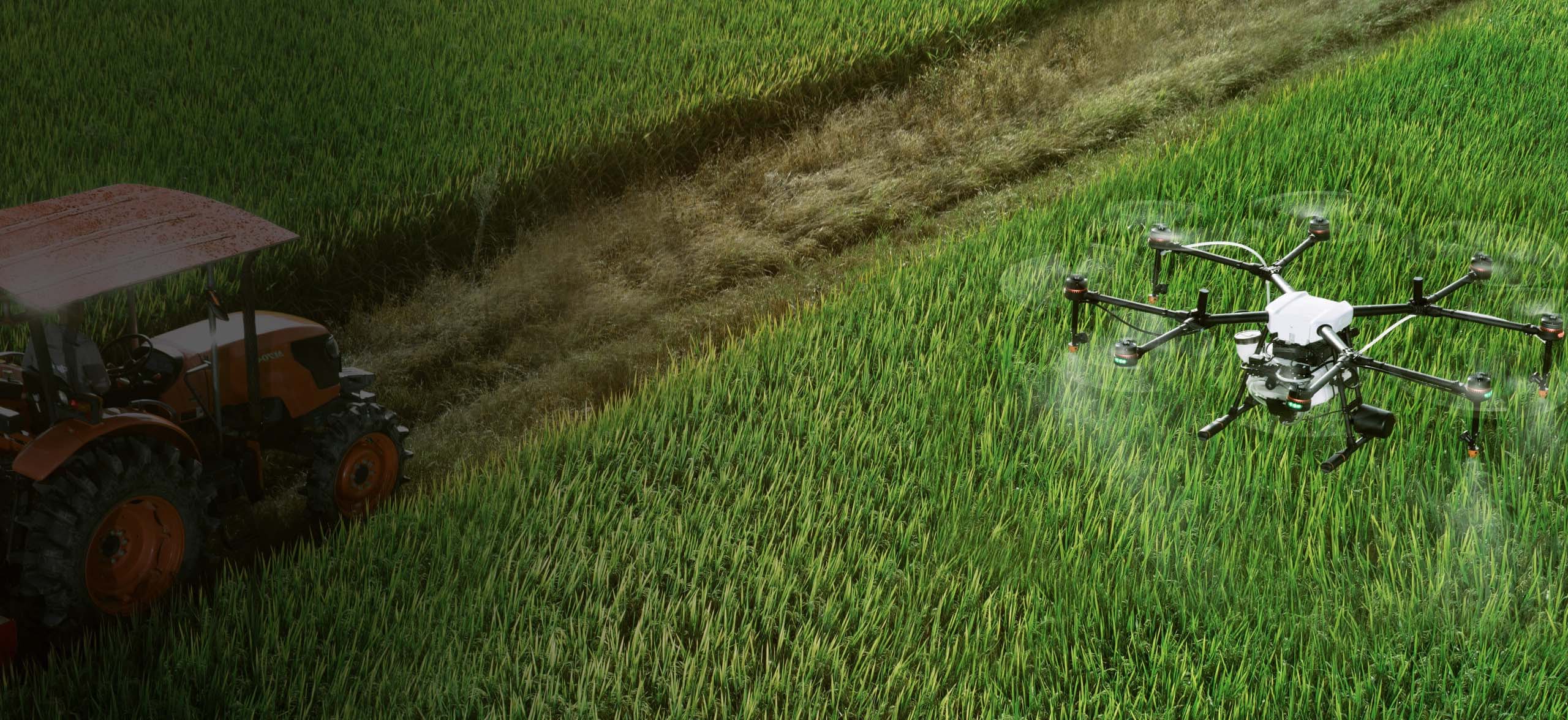
Plantation operations shape how DroneDash approaches targeted treatment, crop sensing and better field decisions.
No-mapping P2P
Selective treatment of individual trees without a separate pre-mapping flight for every job.
AI Vision See n Spray
A detect, locate, treat and record workflow linking every target to its evidence.
Affordable multispectral camera
An in-house four-band design — Red, Green, Red Edge and NIR.
One flight. Two jobs.
Every mission applies treatment and builds the record.
Treat the target
Apply the approved dosage exactly where it is needed — no blanket coverage.
Build the crop record
Capture condition and response so every flight informs the next.
No-mapping point-to-point
Treat individual trees without remapping every job.
DroneDash flies selective treatment of individual trees without requiring a repeated, separate pre-mapping flight for each job. Treatment points are prepared for the operation, reviewed and flown under appropriate planning and oversight.
Every job follows an approved operating plan with a fixed dosage. Treatment points are set before takeoff and applied exactly as planned — the aircraft does not vary dosage in flight.
AI Vision in flight
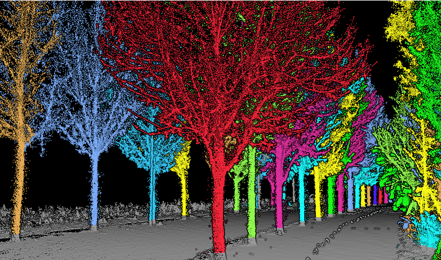
AI Vision sees individual targets as the aircraft moves.
AI Vision detects and scores multiple palm targets. The adjacent flight path panel shows the recorded mission route with its GPS coordinates.
Spray-and-analyse workflow
Detect. Locate. Treat. Record. Reassess.
Field operations and point-to-point treatment anchor the workflow. Every flight connects its evidence into the next.
- 01
Detect
Identify candidate trees and crop signals from field imagery.
- 02
Locate
Translate selected targets into georeferenced treatment points.
- 03
Treat
Fly the approved job and apply a locked dosage at selected targets.
- 04
Record
Connect location, treatment and captured evidence to each tree.
- 05
Reassess
Return after treatment to compare condition and response over time.
See n Spray / AI Vision
From a detected tree to a defensible treatment record.
The See n Spray approach connects per-tree target detection with RTK georeferencing, selected treatment and evidence capture. It shows what was identified, where it was located, what treatment was approved and what was observed afterward.
Per-tree detection
Vision models identify candidate targets for review.
RTK georeferencing
Each selected target is tied to a precise field location.
Selected treatment
Approved targets receive the dosage locked for the job.
Evidence record
Location, action and follow-up observations stay connected.
Cost-conscious multispectral sensing
Four synchronized sensors. Four dedicated spectral bands.
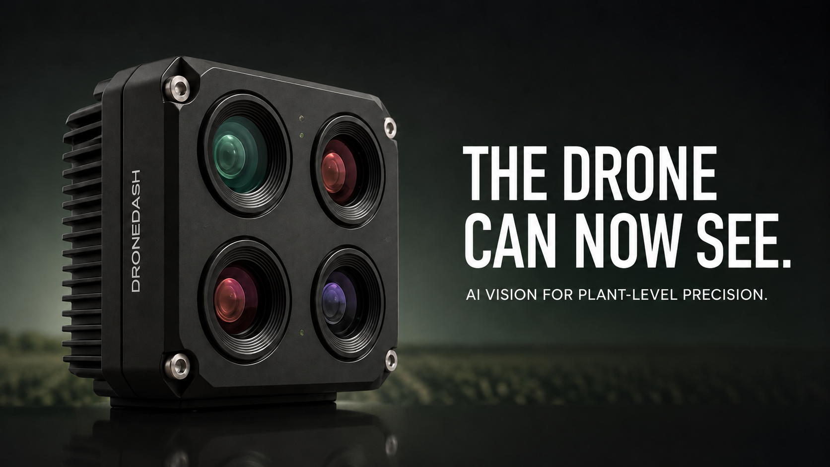
DroneDash’s in-house multispectral camera architecture brings together four synchronized monochrome sensors with separate Red, Green, Red Edge and NIR filters, designed to make crop sensing more affordable.
An irradiance sensor and georeferenced capture sit alongside the four bands. Spectral outputs span NDVI, NDRE and GNDVI.
- Red
- Green
- Red Edge
- NIR
 Flight cameraField context
- Location
- RTK target recorded
- Condition
- Review required
- Treatment
- Approved job dosage
- Follow-up
- Reassessment flight
AgriSense 2.0 · Spray-and-Analyse
A history for every treated tree.
AgriSense 2.0 is designed to connect each tree’s condition, location, treatment and follow-up history, helping operators compare what was seen, what was done and how the crop responded—without separating spraying from analysis.
Oil palm leads the way. As crop-specific imagery and ground truth are gathered, detection and interpretation extend to olives and other crops.
Field pilot
Measure the operation, not the promise.
Define the crop, target and operating constraints, then agree how the pilot will be measured. No assumed savings—just evidence from the field.
Discuss a pilot- Target accuracy
- Chemical and water use
- Hectares per day
- Cost per hectare
- Post-treatment response
Start a conversation