
Integrated solutions
Technology built in the field. Intelligence built into every mission.
DroneDash builds the technology that connects what a drone sees, where it sees it, what action follows, and what can be learned from the result. Our work brings together AI vision, geospatial intelligence, targeted operations, multispectral sensing and an operating data layer for agriculture.
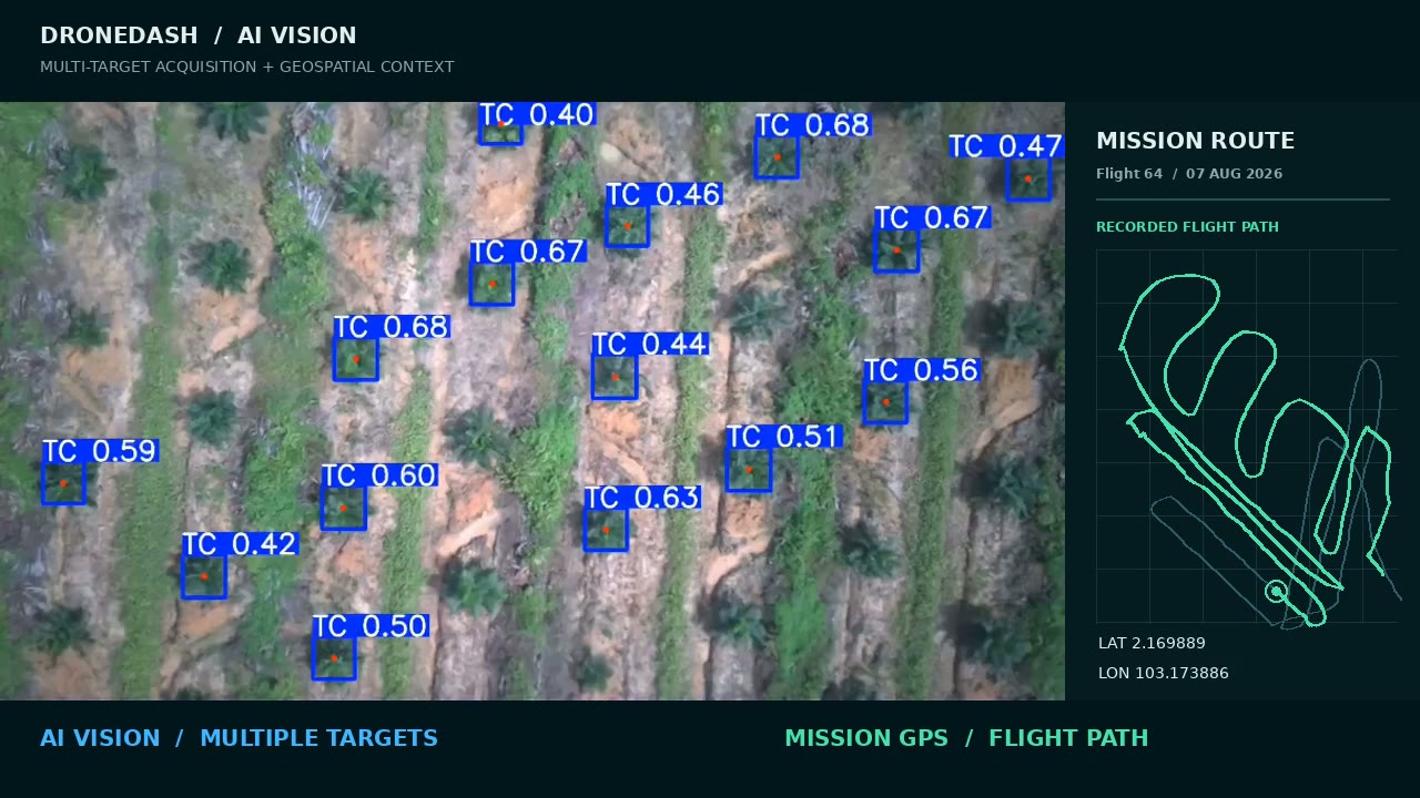
Mission route data provides separate operating context; the existing demonstration does not assign a recorded GPS coordinate to every detected target.
AI Vision & Geospatial Intelligence
See multiple targets. Understand where they are.
DroneDash’s AI vision identifies targets in aerial imagery and presents them with geospatial context. Operators can review detections alongside location data, turning footage into information they can use to plan and assess a mission.
In agriculture, this helps identify individual trees for closer inspection or targeted treatment. The same vision and location approach can support other applications where knowing what was seen and where matters.
No-Mapping Point-to-Point
Treat the target without remapping the entire field for every job.
No-Mapping P2P enables selective treatment of individual trees without a separate pre-mapping flight before each operation. Treatment points and dosage are prepared for the approved job, allowing field teams to focus their work on selected targets.
This approach is shaped by DroneDash’s plantation operations, where treatment must be practical to repeat across regular field cycles.
Explore No-Mapping P2P- Selected targets
- Approved job
- Point-to-point flight
- Treatment record
Four-Band Multispectral Sensing
See crop information beyond ordinary colour imagery.
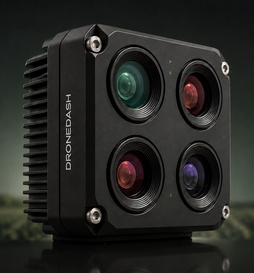
DroneDash’s in-house camera architecture brings together four synchronised spectral bands: Red, Green, Red Edge and near-infrared. These measurements support vegetation analysis, including NDVI, NDRE and GNDVI where appropriate for the crop and conditions.
We designed the camera around a straightforward goal: make useful multispectral information more accessible within everyday drone operations.
AgriSense 2.0
Build the operating data layer for agriculture.
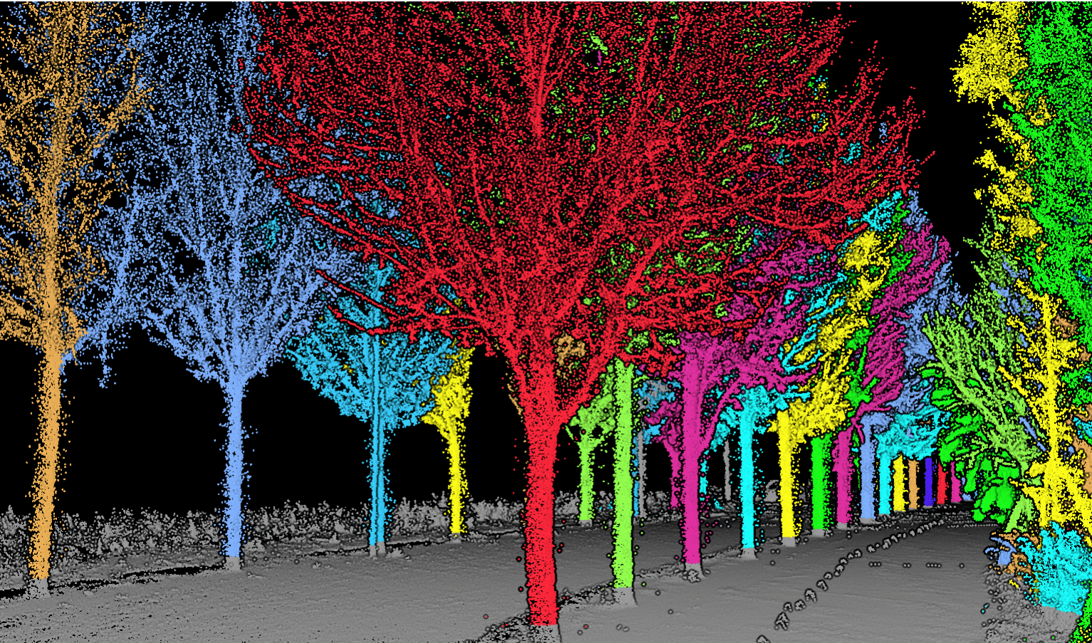
AgriSense 2.0 brings field observations, tree locations, treatment activity and follow-up records into one connected view. Instead of treating each flight as an isolated job, teams can build a history for individual trees and compare what changes over successive cycles.
That record gives plantation managers a clearer basis for planning work, reviewing treatment and understanding crop conditions across estates.
How it works together
An agricultural mission can begin with AI vision identifying a tree, connect that observation to its field location, carry out an approved point-to-point treatment, and add the observation and action to its AgriSense history. Multispectral sensing adds another view of crop condition.
One operation can do more than complete a task. It can make the next decision better informed.
Discuss a solution with DroneDash