
Expertise
Built for the realities of each mission.
DroneDash combines field operations, aircraft engineering and data intelligence to solve problems that differ from one environment to the next. Explore where we apply our technology and how each mission shapes the system around it.
Plantation operations
Work at the level of the individual tree.
Plantation teams return to the same blocks throughout a crop’s growth. DroneDash helps them identify trees that need attention, prepare selective treatment jobs and keep a record of what happened on each visit. Our agriculture work brings together AI Vision, No-Mapping Point-to-Point treatment, multispectral observation and AgriSense 2.0. The aim is a more informed field operation: see the condition, select the target, carry out the work and use the resulting data to plan what comes next.
Explore Agriculture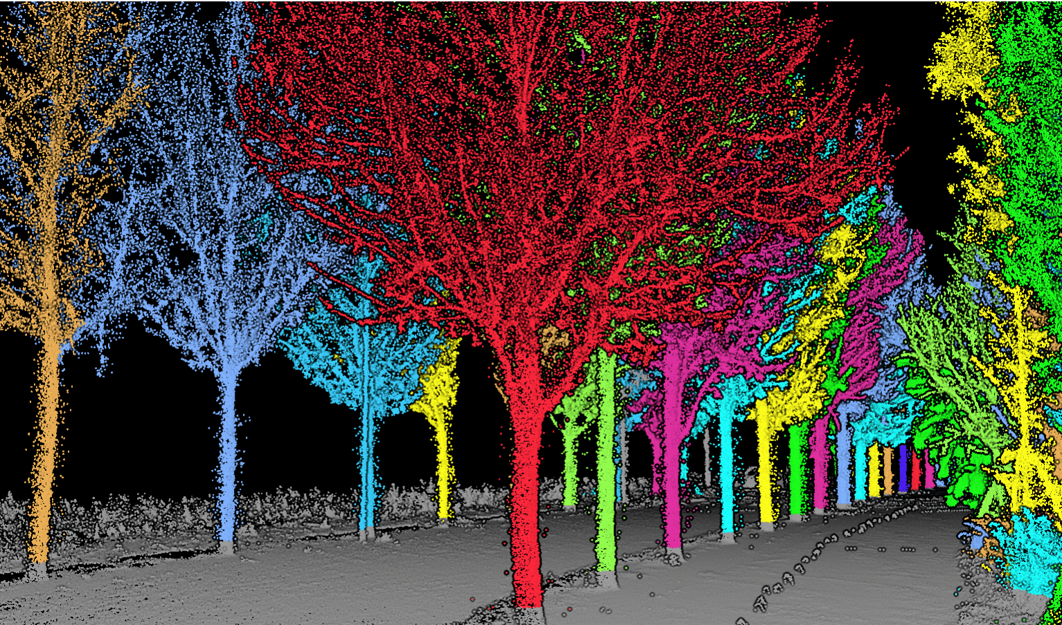
Corridor systems
Design the operation around the route.
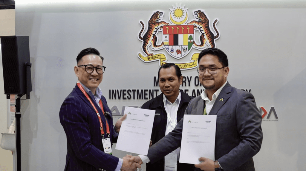
Drone delivery takes more than an aircraft capable of carrying a package. The route, handover points, communications, operating procedures and regulatory requirements must work together. DroneDash’s Malaysia–Singapore cross-border delivery initiative reflects this systems approach. We work with partners to shape unmanned delivery operations around the requirements of a particular corridor and customer.
Explore Logistics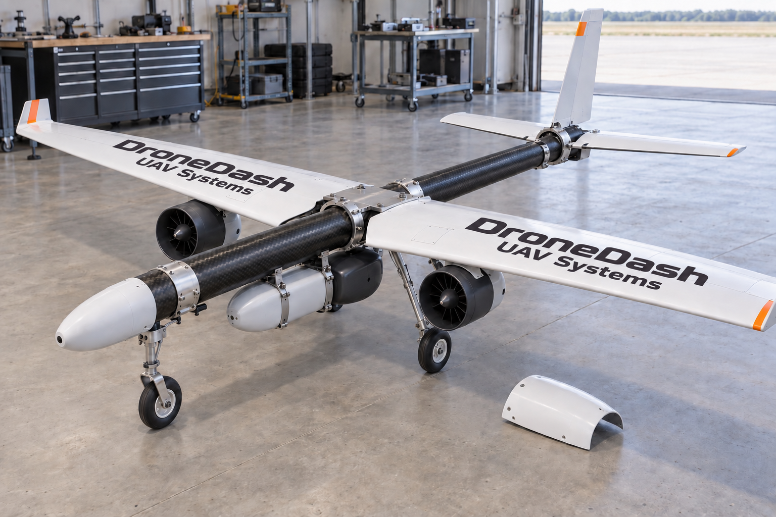
Mission-specific engineering
Engineer for the mission.
Some applications call for an aircraft and sensing system designed around a specific brief. DroneDash brings airframe engineering and computer vision together for missions that require aerial observation, target acquisition and geospatial context. Our fixed-wing UAV direction pairs an efficient aircraft platform with visual intelligence, with propulsion options considered against the speed, payload and operating profile required.
Explore Specialised UAV SystemsAcross applications
Technology that travels across applications.
The same building blocks can serve different missions. Imaging helps an operator see more. AI Vision helps identify what matters. Geospatial context helps place it. An operating data layer helps turn repeated observations into better decisions.